Edinburgh weather forecast: heavy showers to hit the capital as temperatures drop after lockdown ‘mini heatwave’
and live on Freeview channel 276
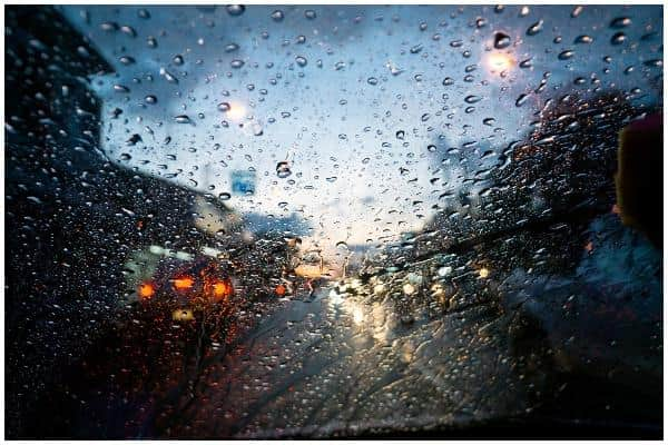
Cloud is forecast, along with a mixture of rain, sunny spells and showers. The temperature will reach a maximum of around 13C, with overnight temperatures dropping as low as 1C.
Here’s this week’s weather forecast.

What will this week’s weather be like?
Tuesday (28 April) will be a bright day with some sunshine at times. Cloud will build up for a time bringing a few showers. There will also be light showers.
Advertisement
Hide AdAdvertisement
Hide AdTuesday evening will see a few showers lingering, with long, clear spells developing across the Lothians and Borders, where it will be chilly here, with temperatures as low as 1C.
Wednesday (29 April) will see a sunny start in the east, but it will begin to cloud over from the southwest.
It will turn drier into the afternoon, but rain will follow in the evening, with a maximum temperature of 13C.
The Met Office outlook for Thursday to Saturday explains, “Still a good deal of dry weather but there will be a few showers around on each day. Perhaps some more persistent rain on Saturday evening.”
What will the weather be like this weekend?
Advertisement
Hide AdAdvertisement
Hide AdThe Met Office UK outlook for Saturday 2 May to Sunday 10 May is, “Looking slightly ahead into the beginning of May, the unsettled theme is likely to continue as Atlantic weather systems bring further bands of rain across to many areas, particularly in the south and the west of the UK.”
The southwest is most likely to see the wettest of these conditions, but there is also likely to be brighter and showery spells too.
It is also expected to be windy at times, especially around the south and west coasts.
Temperatures are expected to remain around average, but it could be warmer in the east at times.
What’s the long-term forecast?
Advertisement
Hide AdAdvertisement
Hide AdLooking further ahead, the Met Office UK outlook for Monday 11 May to Monday 25 May explains, “Confidence remains low, but the second week of May appears to have the best chance of more settled and drier conditions.”
From mid-month until the end of May, conditions then look mixed. There is likely to be a mixture of changeable periods of a few days with the chance of thundery showers, but there also looks set to be some periods of drier and sunnier weather.
Temperatures are also likely to be near average, or maybe slightly above, with rainfall also set to be around average.