
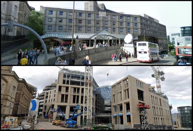

Since then, the Street View team at Google have been publishing fresh interactive panoramas of Scotland’s capital on a regular basis.
An accompanying time slider function allows the user to reel back the years and select almost any season they like between August 2008, when the first images were captured, to the present day.
While the technology has clear practical uses, the historical value of the images captured by Google increases with every day, month, year and decade that passes. Never before have we been able to view 360 degree panoramas of our towns and cities as they looked in bygone eras.
So, what has changed in Edinburgh since the year of the financial crash? On a localised level, the changes are too numerous for us to list.
The Capital in 2008 was a very different place. Construction of the troubled tram system had only just commenced, and big budget developments such as the St James Quarter and new Meadowbank Stadium were still years away.
A message from the Editor:
Thank you for reading this article. We're more reliant on your support than ever as the shift in consumer habits brought about by coronavirus impacts our advertisers.
If you haven't already, please consider supporting our trusted, fact-checked journalism by taking out a digital subscription at https://www.edinburghnews.scotsman.com/subscriptions.
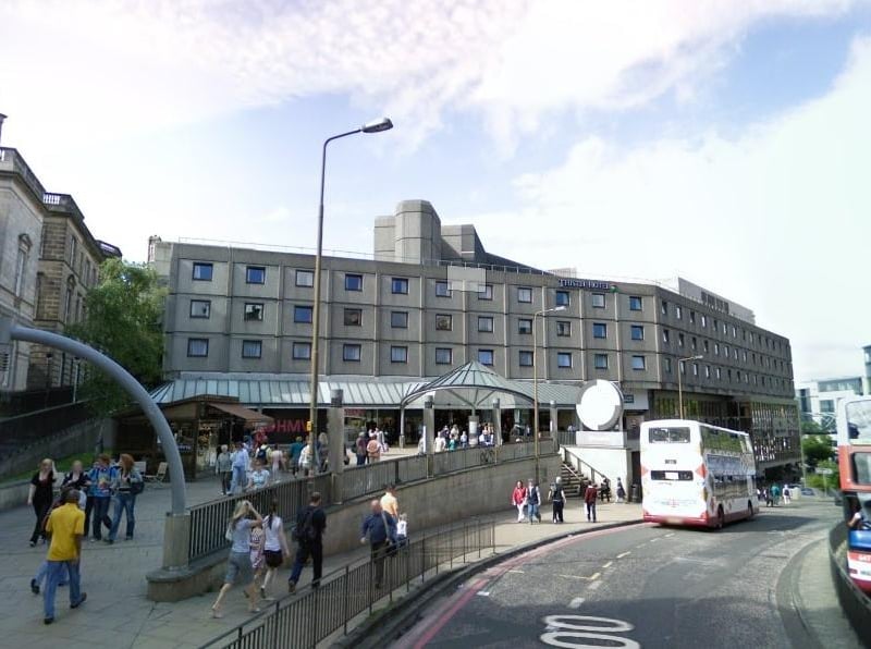
5. St James Centre (then)
Demolition of the old St James Centre, long regarded a brutalist eyesore, was delayed by the financial uncertainty surrounding the global economic crash. Photo: Google Street View
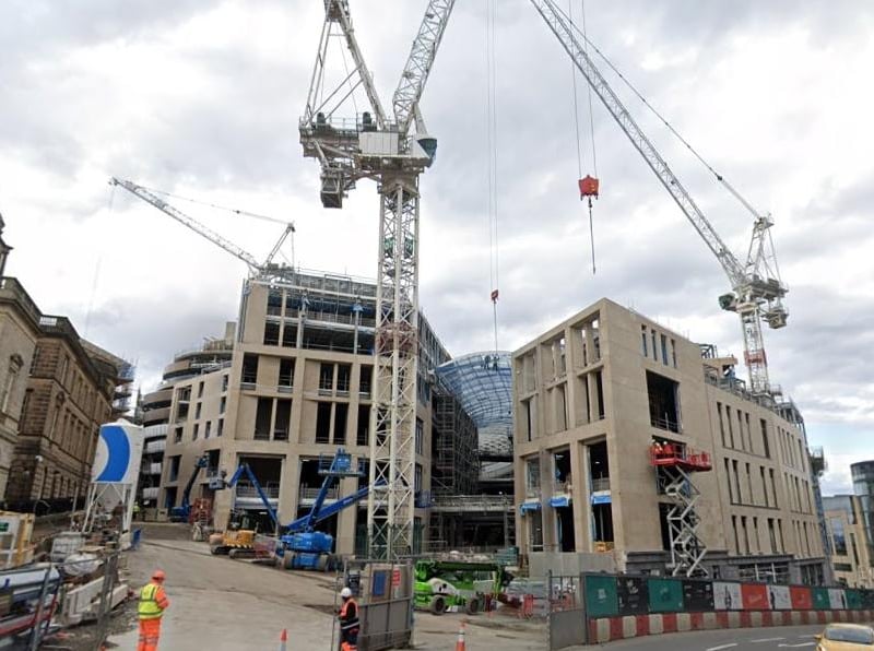
6. St James Quarter (now)
Today the old centre is gone to be replaced by a vision for the future. Photo: Google Street View
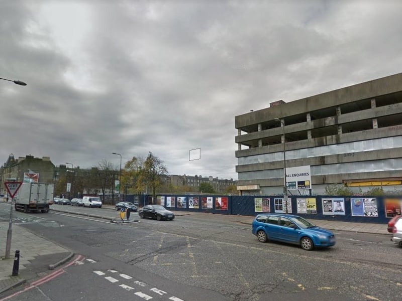
7. Leith Walk (then)
This stretch of Leith Walk near Pilrig was looking pretty tired towards the end of the 2000s. Photo: Google Street View
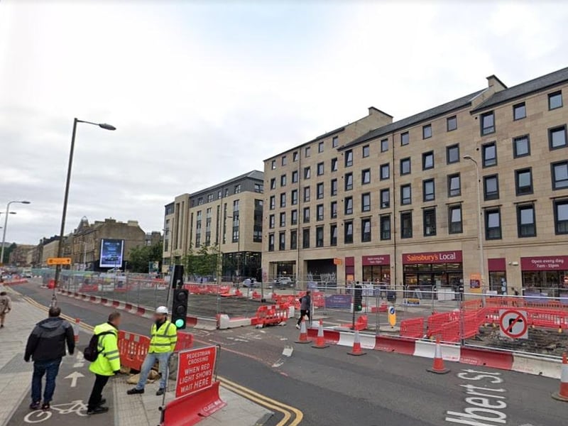
8. Leith Walk (now)
The same stretch today has been brightened up and is now occupied by apartments and student accommodation. Photo: Google Street View