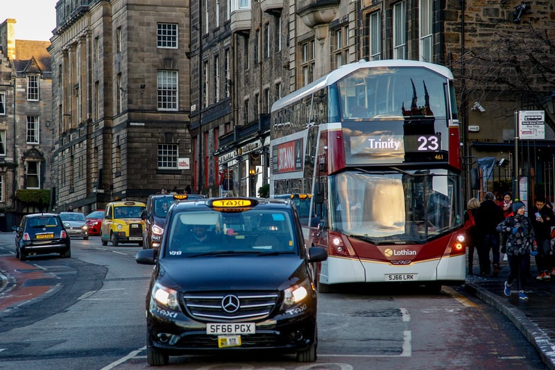
Earlier this month councillors approved controversial plans to ban through traffic from major roads in the centre of Edinburgh, including the North and South Bridges corridor, The Mound, the Cowgate and Canongate.
It's all part of a blueprint for the city's roads, called "Our Future Streets", which is intended to advance the council's declared ambitions of reaching net zero and achieving a 30 per cent reduction in car kilometres by 2030. The plans go further than the previously agreed City Centre Transformation proposals and aims to create "a city centre that is far less vehicle dominated".
But the blueprint also extends well beyond the city centre, with proposals for some local town centres and measures on key routes into and out of the city.
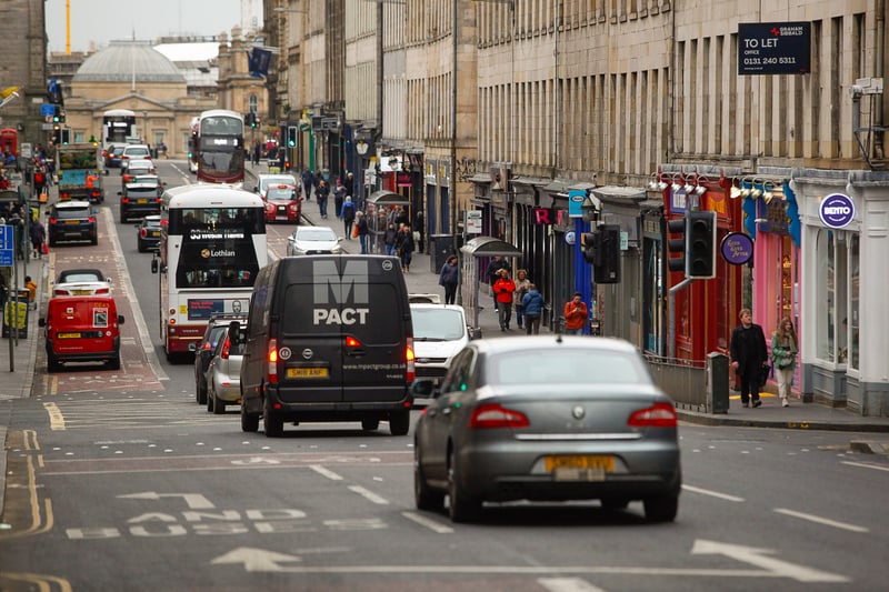
1. North and South Bridges
The North and South Bridges corridor - a key north-south route across the city - will see restrictions allowing only public transport and local access. The blueprint says the number of pedestrians spilling off the pavements impacts bus services during the busiest summer period. Removal of general through traffic would mean efficient bus services, a better pedestrian environment and safer cycling conditions. The Bridges are also due to become part of the new north-south tram route from Granton to the Royal Infirmary. Photo: TSPL
2. The Mound
The Mound was already due to be closed to through traffic with a "bus gate" at Bank Street at the top of The Mound. But with the closure of the Bridges corridor it means two of the city's three major north-south routes are being cut. The blueprint suggests that a no through route on the Mound corridor results in traffic using Broughton Street instead of Dundas Street. And it notes that bus journey time are not expected to improve on the Mound corridor between Tollcross and Dundas Street, despite reduced general traffic volumes, partly due to new traffic signals at the Chambers Street junction adding a slight delay. Photo: Scott Louden
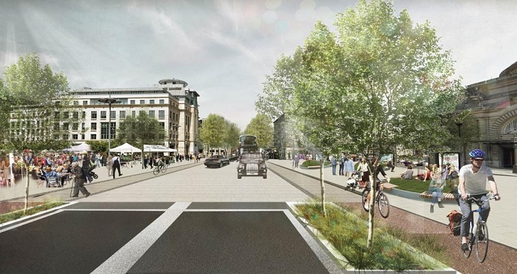
3. Lothian Road
Plans to turn Lothian Road into a "boulevard" will have to be rethought because of the decision to close the Bridges corridor to through traffic. With The Mound also closed, Lothian Road is the only major north-south through route in the city centre. The Bridges closure is expected to leave 400-500 vehicles per hour looking for an alternative north-south road. The blueprint acknowledges more street space will be needed for buses and general traffic on Lothian Road as a result. But it says: "Nevertheless, the Lothian Road project can still bring forward substantial improvements in conditions for walking/wheeling and cycling, protection of buses from delays, and for example a much better connection between Festival Square and the Usher Hall/Theatre Quarter." Delays of up to eight minutes are expected for buses due to the increased traffic. Photo: City council
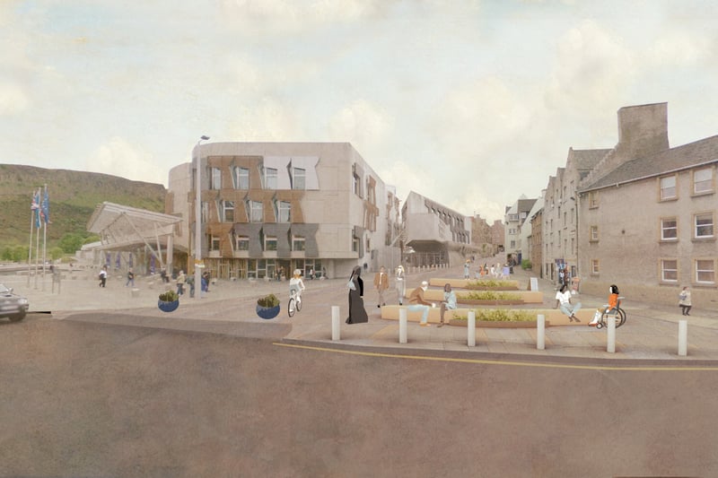
4. Canongate
The Canongate will be closed to general traffic, ending the through route between New Street/East Market Street and Jeffrey Street/Canongate. But the move is expected to mean an additional 200-300 vehicles per hour on alternative east/west corridors: Queen Street, Holyrood Road, and Melville Drive The blueprint says expansion of the Royal Mile pedestrian zone into Canongate would create improved walking/wheeling opportunities in key residential and tourist areas which have very high footfall. It suggests bus access would be retained and there would be early morning delivery times. Photo: City council