
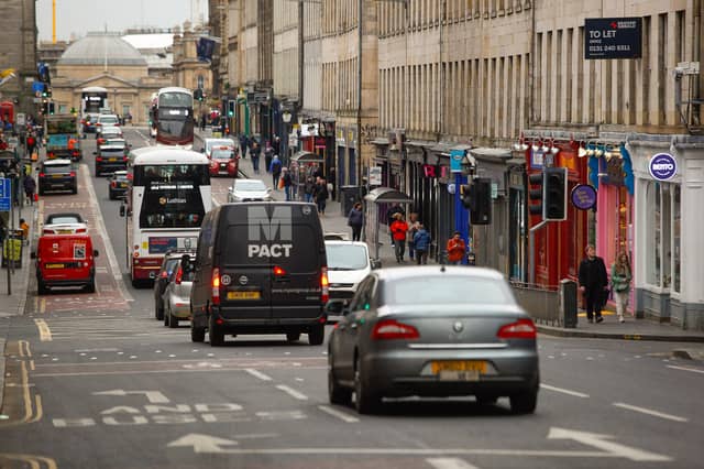

Earlier this month councillors approved controversial plans to ban through traffic from major roads in the centre of Edinburgh, including the North and South Bridges corridor, The Mound, the Cowgate and Canongate.
It's all part of a blueprint for the city's roads, called "Our Future Streets", which is intended to advance the council's declared ambitions of reaching net zero and achieving a 30 per cent reduction in car kilometres by 2030. The plans go further than the previously agreed City Centre Transformation proposals and aims to create "a city centre that is far less vehicle dominated".
But the blueprint also extends well beyond the city centre, with proposals for some local town centres and measures on key routes into and out of the city.
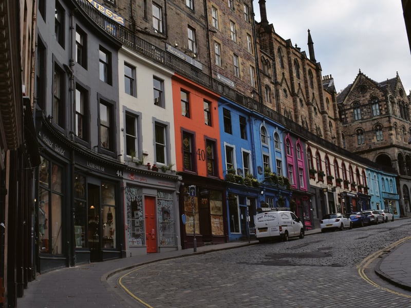
9. Victoria Street.
Like Cockburn Street, colourful and quirky Victoria Street has been pedestrian priority since Covid. The blueprint sees its continued closure as contributing to a "core" area in the city centre with no or very limited traffic, providing a fully-connected route from Waverley Station to the heart of the Old Town for those walking and wheeling. | Contributed Photo: Supplied
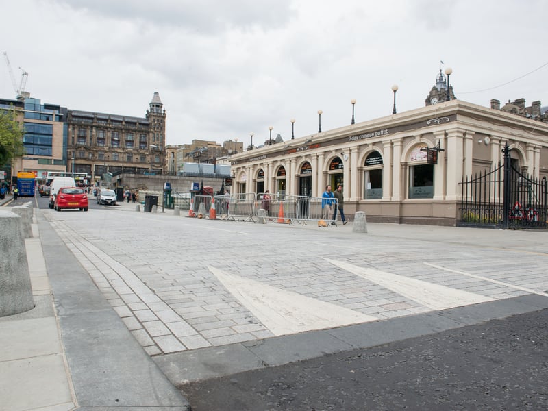
10. Waverley Bridge
Waverley Bridge - already closed to through traffic - will see that closure made permanent in line with the "Waverley masterplan" for the long-term revamp of the station. The blueprint says the closure "improves the quality of this public space and simplifies the operation of Waverley Bridge junction, improving bus and tram reliability on Princes Street". | Ian Georgeson Photo: Ian Georgeson
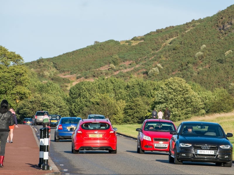
11. Holyrood Park
A car ban in Holyrood Park already features in the "vision statement" published last year by Historic Environment Scotland (HES), which manages the park. The council broadly backs that ambition, but its roads blueprint would mean keeping the Holyrood Gait - Queens Drive - Horse Wynd connection within the park open to traffic, potentially including goods vehicles. The council says it is continuing to work in close cooperation with HES. | Ian Georgeson Photo: Ian Georgeson
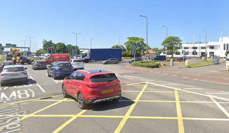
12. A8 (Roseburn to Gogar)
The A8 emerged from a strategic appraisal of the main corridors in and out of the city as the highest priority for investment. Designs will now be progressed for an "integrated street upgrade" for the A8 from Roseburn to Gogar, including better provision for people walking and wheeling, protected cycling infrastructure and measures to improve bus journey times and reliability. This will include major junction reconfigurations at Maybury (pictured) and Drumbrae; a safe cycling connection, segregated as far as possible from motorised traffic, along the whole route, thus extending the City Centre West to East Link (CCWEL) west from Roseburn; and bus priority at junctions as well as bus lanes being used to bypass congestion while reallocating some space to walking/wheeling and cycling. | Google Photo: Google