Edinburgh's 'urban creep' flood risk: 15 football pitches worth of green land lost each year to conservatories, driveways and patios


Around a hectare a year of green land is being gained due to regeneration of old industrial areas.

The independent study, produced by scientists at the NERC Centre for Ecology & Hydrology (CEH), looked at the two elements of urbanisation:
Advertisement
Hide AdAdvertisement
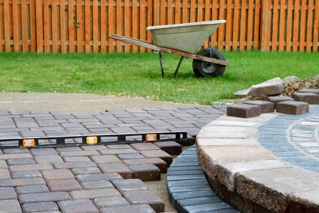
Hide AdUrban creep – Individual, small-scale changes in existing urban settlements, such as building housing extensions, driveways and conservatories, or homes in gardens. This can lead to a large cumulative loss of vegetated garden and increase the risk of surface water flooding
Urban expansion – The development of new housing or industrial estates being built on farmland or recreational spaces. These developments are subject to rigorous planning policies to ensure they do not increase flood risk.
Risk of Surface Water Flooding
The CEH scientists developed a method to map urbanisation using aerial photography of Edinburgh from 1990, 2005 and 2015 – resulting in the first high-resolution, city-wide estimates in Scotland. This method could be applied to other cities and towns across Scotland to map urbanisation and assess potential impacts.
Dr Clare Rowland, the CEH earth observation scientist who led the research, said: “Our study shows that, over the last 25 years, Edinburgh lost an average of 11.3 hectares (ha) of green land each year to urban creep and urban expansion. That’s equivalent to about 15 football pitches annually.
Advertisement
Hide AdAdvertisement
Hide Ad“People might assume that most of this loss is from urban expansion, through the construction of new housing and commercial estates. Certainly that accounts for 4.8ha of the annual loss, but urban creep accounts for 6.4ha of vegetation loss each year. Homeowners have added car parking spaces, conservatories and driveways, or allowed properties to be built in their gardens - all of which have contributed to the loss of greenery.”
The report also identified some positive signs of decreases in urban area. Dr Rowland said in some of Edinburgh’s regenerated areas, such as the Quartermile development on the site of the old Royal Infirmary, there has been an urban decrease, meaning there are now gardens or vegetation where there were none previously. Across Edinburgh, this amounts to just over one hectare a year.
Dr James Miller, project manager and hydrologist at CEH, said: “The loss of pervious green land increases the risk of localised surface water flooding, as it creates more runoff that can exceed the drainage capacity. The scale of this increase was unknown, but mapping and quantifying urban creep means we can improve our understanding of where surface water may need improved management.”
Bob Ferrier, director of CREW, said: “This innovative and proactive research has raised our awareness of the issue of urban creep and the potential impact on urban flooding. This improves our understanding and preparedness for the consequences of future change.”
The report, Quantifying rates of urban creep in Scotland: results for Edinburgh between 1990, 2005 and 2015, will be available to read on the CREW website.