

From trams to cycle lanes to road closures, travel within Edinburgh has seen dramatic changes over the past decade – and there’s more to come.
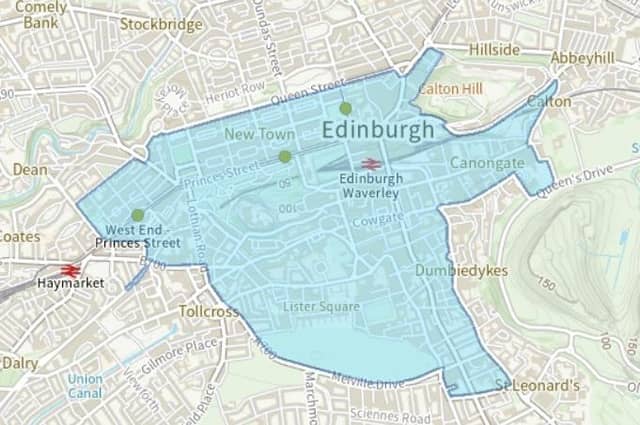
Controlled Parking Zones are gradually being rolled out across many parts of the city, Low Traffic Neighbourhoods are being piloted in others, and the Low Emission Zone, designed to improve air quality by removing the worst-polluting vehicles from the centre of the city, will come into effect next summer.
But there could also be a Workplace Parking Levy, more trams and perhaps even the return of a cycle hire scheme. So just what is planned and where is everything up to? Here are 17 projects you can look forward to – or not.
5. Extending 20mph zones
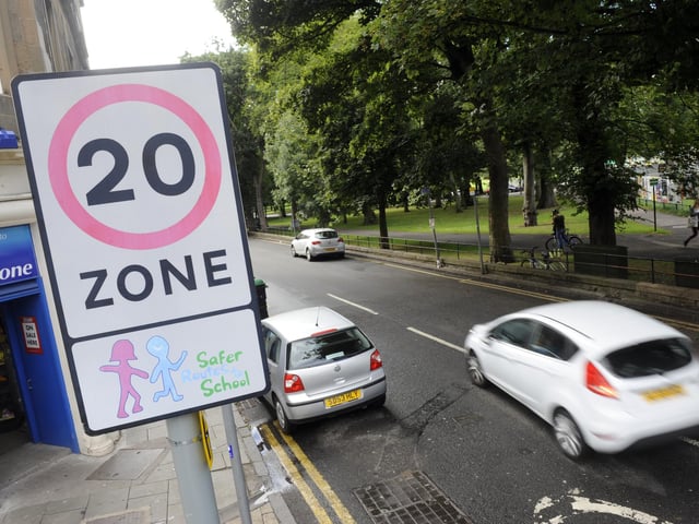
The first 20mph zones in residential streets in Edinburgh were introduced between 2016 and 2018. Now the council is planning to extend the 20mph speed cap to more streets, particularly ones with higher density housing such as flats or terraced properties, or groups of shops, and places where a lot people are walking or cycling, for example near a hospital or university campus. It includes parts of Ferry Road, Corstorphine Road, London Road, Colinton Road and Lanark Road West. At the same time, the council plans to cut the normal speed limit on two-lane rural roads from 60mph to 40mph, with a 30mph limit on most minor country lanes and 20mph limits through rural hamlets. Photo: Greg Macvean
6. George Street pedestrianisation
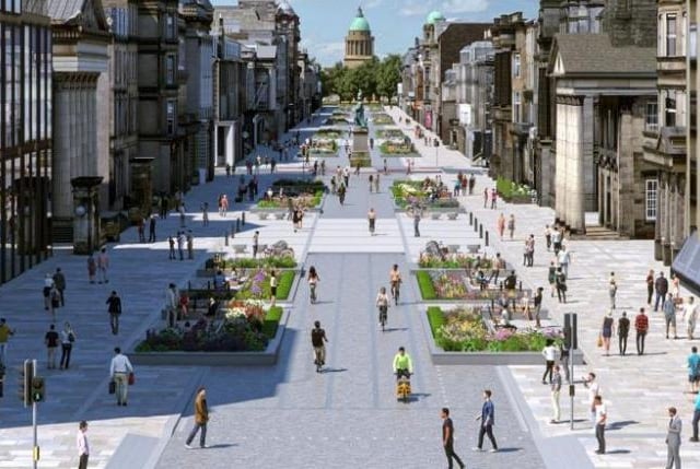
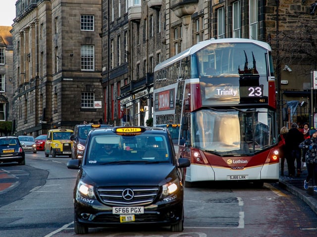
It has been talked about for years, but plans for the pedestrianisation of George Street are now well advanced and due to come into force in 2025. Almost all motor traffic will be banned between 10am and 7pm, with only "permitted" vehicles such as delivery vans and black cabs allowed to enter between 7pm and 10am. The £36 million project will see the current parking down the centre of the street removed, buses rerouted away from George Street, the pavement widened and the carriageway become a "cycle street". And for the first time in its history, George Street will have trees - eight at each end - to help combat the effects of climate change. Photo: Edinburgh city council
7. Lothian Road boulevard
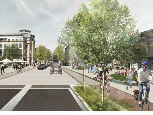
Plans to turn Lothian Road into a tree-lined boulevard were first published in 2019 as part of Edinburgh's City Centre Transformation scheme. Changes will include widened pavements, segregated cycle lanes and major safety improvements at the Tollcross crossroads, which was identified as the city's second most dangerous junction. But work on the project is not due to get under way until 2028. Photo: Edinburgh city council
8. Meadows to George Street active travel route
The plans for the Meadows to George Street active travel route include a "bus gate" on North Bank Street at the top of the Mound, which will stop other vehicles using this through route between the north and south of the city. Construction is due to start next year on the scheme, which will see segregated cycleways, wider pavements and pedestrian priority areas along the route, which takes in Teviot Place, Forrest Road, George IV Bridge, the Mound and Hanover Street, where it will connect with the George Street scheme. The council says it will create a safer, more relaxing space for walking, wheeling, cycling and spending time in. Photo: Scott Louden