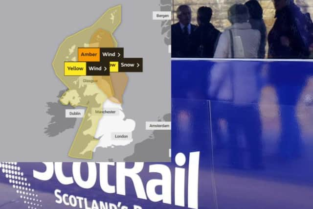
Travel chaos on rails and roads as Storm Arwen batters Scotland
and live on Freeview channel 276
A fallen tree on the overhead wires at Bishopbriggs has left a number of trains unable to move, with other services facing delays.
Advertisement
Hide AdAdvertisement
Hide AdThe 22:15 from Edinburgh Waverley to Glasgow Queen Street has been cancelled, while the 21:53 train from Queen Street to Waverley is expected to leave at 22:43.
Scotrail tweeted: “We can't run any trains in or out of Glasgow Queen St due to a fallen tree on the overhead wires at Bishopbriggs, which has left a number of trains unable to move.”
There are no trains running on the following routes:
Edinburgh - Dunbar/North Berwick Edinburgh - Dundee/Perth Edinburgh - Fife Perth - Inverness Dundee - Aberdeen Inverness - Aberdeen Inverness - Wick/Kyle Dumbarton Central - Balloch
There are currently no trains running between Newcastle and Scotland.

Advertisement
Hide AdAdvertisement
Hide AdDrivers are advised to use caution crossing the Forth Road Bridge due to high winds currently affecting driving conditions.
Meanwhile, there are several reports of blockages on the A9, with the route northbound at Dalwhinnie restricted due to a fallen tree.
The A1 remains closed in places and closed to high-sided vehicles, while the A86 is closed in both directions between Kingussie and Spean Bridge due to adverse weather.
The east coast line between Edinburgh and Berwick-upon-Tweed and the North Berwick line have also been closed due to the weather, but the west coast mainline remains open for cross-border travel.
Advertisement
Hide AdAdvertisement
Hide AdGrahame Madge, a Met Office spokesman, said the forecaster didn’t “issue red warnings lightly” and warned people to stay away from the affected area.
“People need to recognise, really, that we don’t issue red warnings lightly so, therefore, when we do, we feel that there is a much higher threat of risk,” he said.
“We urge people, obviously, to take action as a result of that and that action in this case is probably don’t go to the coast.”
The warning, which is the highest the Met Office issues, means the impact is likely to be severe with the potential for damage to buildings and homes, with roofs blown off and power lines brought down.