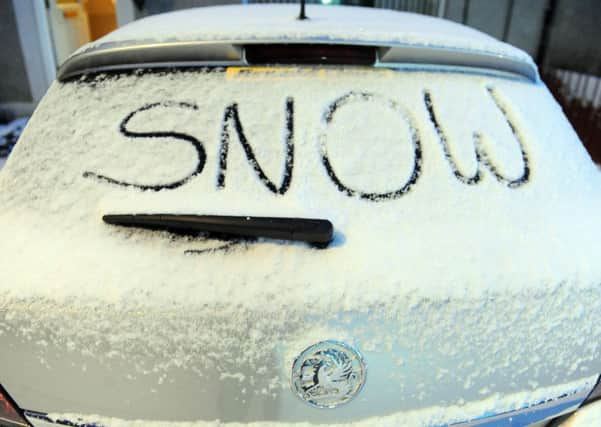
Edinburgh faces three days of snow and transport disruption
This article contains affiliate links. We may earn a small commission on items purchased through this article, but that does not affect our editorial judgement.


Weather warnings have been put in place ahead of the arrival of the wintry weather front, dubbed the ‘Beast from the East’, which is scheduled to hit Scotland later tonight.
Edinburgh and the Lothians are expected to be among the worst affected areas with a yellow weather warning turning to amber by Wednesday.
Advertisement
Hide AdAdvertisement
Hide AdAn amber weather warning indicates much higher likelihood and severity than a yellow warning, as detailed by the Met Office’s own weather matrix.
Snow showers are set to begin in the early hours of Tuesday, continuing on and off until Thursday.
Wednesday is expected to bring the heaviest snowfalls and lowest temperatures, which will almost certainly mean significant transport disruption across the region.
Between 5-10 centimetres of snow could fall locally, with some areas experiencing snowfall of up to 20 centimetres.
Advertisement
Hide AdAdvertisement
Hide AdThe Met Office has issued advice to those travelling by rail, air and road over the next few days, warning that delays and cancellations are likely. Motorists are advised to take extreme caution on the roads.
Those in rural communities could find themselves stranded and without power as the weather worsens, while other services, such as mobile phone services, may also be affected.
Temperatures in certain areas of the country could dip as low as -11, matching those more commonly experienced in northern Norway and Iceland.
Alex Burkill at the Met Office said: “There’s going to be snow on Tuesday, which shouldn’t cause too many problems as it will only be a centimetre or two. But Wednesday it’s going to be much heavier and more frequent.
Advertisement
Hide AdAdvertisement
Hide Ad“We have an Amber warning for Edinburgh on Wednesday. There will at least be 5-10 cm of snow locally, and it could reach as high as 20cm from the showers in the day.
“It’s going to be freezing temperatures anyway, but when you factor in the cold wind it’s going to feel close to -10 degrees even in the day.”
Join our Facebook group Our Edinburgh to share images and news from and around the Capital
