Edinburgh hour-by-hour weather forecast: Two days of wet weather to hit Capital as spells of heavy rain predicted


Despite a mainly dry and bright start today, outbreaks of rain, heavy at times, with southerly winds strengthening with coastal gales are expected to affect Edinburgh over the next two days with a maximum temperature 9 °C.
The news comes as flood warnings have been issued in surrounding areas of Edinburgh but not the Capital itself.
Advertisement
Hide AdAdvertisement
Hide AdSEPA has issued a total of 6 flood alerts across Dumfries and Galloway, Tayside, Central, Ayrshire and Arran, Scottish Borders and West Central Scotland.
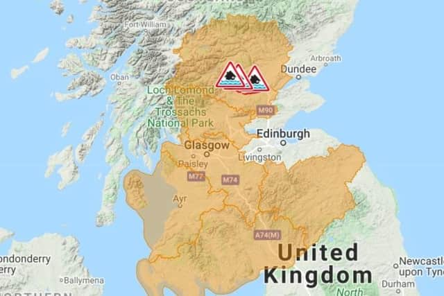
More severe flood warnings have been issued in Innerpeffray to Bridge of Earn, Crieff to Innerpeffray and Carse of Lennoch to Lochlane.
Although not included in the specific flood warnings, Edinburgh is still going to be affected by rainy conditions and here is an hour-by-hour weather forecast for the Capital in the next two days, according to experts at the Met Office.
Rain is expected to affect the Capital from 6pm onwards today, March 10, with a chance of light rain in this first hour.
Advertisement
Hide AdAdvertisement
Hide AdBy 7pm, this rain is expected to worsen with a strong chance of heavy rain affecting the Capital and an average temperature of 10°.
Between 8pm and 10pm tonight, we are expected to see a chance of light rain continuing till 10pm.
This will then turn to a strong chance of heavy rain at 11pm lasting until 1pm with an average temperature of 8°.
Throughout Thursday, we can expect to see rain showers with cloudy outbreaks.
Advertisement
Hide AdAdvertisement
Hide AdHeavy rain is predicted to set in at 3am and turn to light rain at 4am which will last until 6am.
It is expected to be cloudy with sunny outbreaks between 7am and 11am.
Rain is expected to return to the capital at midday on Thursday in light outbreaks.
Sunny outbreaks with light rain showers are then expected between 2-5pm, with light rain expected at 6pm, a cloudy interval at 7pm and then light outbreaks expected to return between 8pm and 10pm.
Advertisement
Hide AdAdvertisement
Hide AdThe early hours of Friday morning will see a light spell of rain with showers also predicted at lunchtime.
Speaking about forecasts for Friday to Saturday across Dumfries, Galloway, Lothian and Borders, a spokesperson from the Met Office said: “Feeling cold with heavy blustery showers on Friday, wintry on high ground.
"More persistent rain and snow possible early Saturday, otherwise bright spells and showers over the weekend. Night frosts.”
Flooding warnings in surrounding areas such as Dumfries and Galloway have been issued for Wednesday afternoon overnight into Thursday.
Advertisement
Hide AdAdvertisement
Hide AdSEPA has said this could include localised flooding of land and roads, isolated cases of flooding affecting individual properties, and localised disruption to travel.
Addressing those living in affected areas, a SEPA spokesperson said: “Remain vigilant and remember, it is your responsibility to take actions which help protect yourself and your
property."
Elsewhere in the UK, across today and tomorrow, the Met Office has issued a yellow warning of wind for the whole of England and Wales.
Gusts of 50-55 mph are possible inland, accompanied by heavy and blustery showers.
Advertisement
Hide AdAdvertisement
Hide AdGusts may reach 60-70 mph on coasts and hills, especially in the west, before gradually easing on Thursday afternoon.