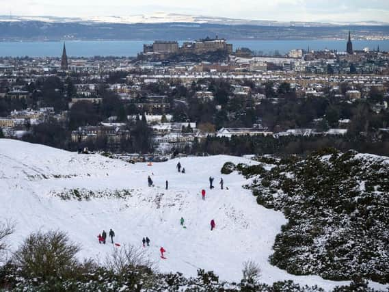
Met Office issues yellow warning for snow for Edinburgh and most of Scotland


The forecasters said there is a chance of a period of heavy snow across the region and - should it occur - it could cause ‘significant travel disruption.’
Areas predicted to be impacted by the snowy conditions in the south west of Scotland and Lothian Borders include Dumfries and Galloway, East Lothian, Edinburgh, Midlothian Council, the Scottish Borders and West Lothian.
Advertisement
Hide AdAdvertisement
Hide AdOther areas affected include Central, Tayside & Fife, Grampians, The Highlands, and the Strathclyde area.
The news comes after ScotRail announced travel disruptions and the Met Office issued a yellow weather warning for heavy snow and rain throughout Monday.
The snowy conditions have been predicted to occur across Scotland from Wednesday, January 13 at 5 am until Thursday, January 14 at 9pm.
The Met Office said there is a small chance of travel delays on roads with some stranded vehicles and passengers, along with delayed or cancelled rail and air travel.
Advertisement
Hide AdAdvertisement
Hide AdThere is also a slight chance that some rural communities, mainly those at higher elevations, could become cut off.
Power cuts could also occur and other services, such as mobile phone coverage, may be affected in the snow falling areas.
Areas in the north of England will also be affected.
Speaking about the predicted snowfall, a Met Office Spokesperson said: “An area of rain pushing north-eastwards is expected to increasingly fall as snow, at least for a time, as it encounters colder air across Scotland and parts of northern England.
"Heavier snowfall is more likely above 150 m, where 5-15 cm of snow may accumulate, and possibly as much as 30 cm of snow in a few locations. At lower levels 2 - 5 cm may accumulate but there remains a possibility that milder air makes more inroads, with the snow turning back to rain more widely, in this case snowfall would largely be restricted to the highest ground.
Advertisement
Hide AdAdvertisement
Hide Ad"A brief period of freezing rain, which would bring areas of ice, is possible in the western, especially south-western, part of the warning area on Wednesday morning.”
You can keep up to date with the latest Met Office weather warnings by following their interactive map here.