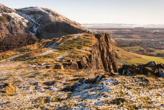
Snow forecast in Edinburgh over weekend as Met Office warns of icy roads and pavements
and live on Freeview channel 276
Met Office meteorologist Alex Burkill said sleet and snow will fall on low ground across Edinburgh from 8pm on Saturday - but it's unlikely to last long or settle.
Overnight temperatures could fall to -1c on Sunday morning, meaning icy conditions on roads and pavements.
Advertisement
Hide AdAdvertisement
Hide AdMr Burkill said: "If you're heading out on Saturday night you might see a bit of snow."

He also said that, although still 12 days away, Christmas Day in Edinburgh is likely to be wet and windy rather than cold and crisp.
Edinburgh's weekend weather
Friday evening (tonight) should stay dry but rain is expected to arrive from midnight. This is expected to fall as sleet or snow in the Pentlands.
Mr Burkill predicts outbreaks of light rain in the Capital on Saturday morning and afternoon before colder temperatures lead to sleet and snow in the evening.
Advertisement
Hide AdAdvertisement
Hide AdWind gusts of up to 35mph are expected on Saturday, with temperatures falling to freezing - or just below - and highs of 4c forecast in the city during the day.
Mr Burkill said Sunday will be largely dry but it could be icy first thing in the morning with sleet and snow falling overnight and freezing, as temperatures dip to -1c. The mercury will fall even more in the outskirts of Edinburgh with -3c expected.
Temperatures are expected to stay below freezing to create early morning icy conditions on Monday, Tuesday and Wednesday.
However, Mr Burkill says conditions are likely to become milder by the end of the week.
Advertisement
Hide AdAdvertisement
Hide AdHe said: "The greatest risk of ice is Sunday morning where we have had rain and snow during the early part of the night before - but temperatures falling below freezing will make it very icy. We're in for some chilly nights and days where temperatures will only be mid single figures."
Christmas Day
Mr Burkill said: "At the moment it's more than likely going to be unsettled. It's probably going to be raining and blustery at times and temperatures look about average rather than below. But that's not to say we should rule out anything."