Yellow weather warning issued for southern Scotland as snow arrives
and live on Freeview channel 276
The alert covers parts of Dumfries and Galloway, East and West Lothian, East Ayrshire and South Lanarkshire.
Up to 5cm of snow could accumulate above 200m and up to 10cm above 400m, the Met Office said.
Advertisement
Hide AdAdvertisement
Hide Ad
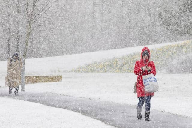

The Met Office said the snow would mainly fall on high ground.
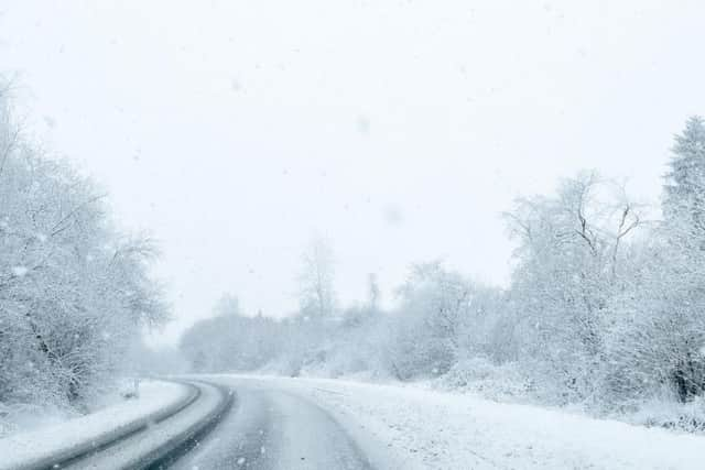
Some roads and railways are likely to be affected with longer journey times by road, bus and train services.
The warning is in place until 10am.
Met Office meteorologist Mark Wilson said: “In the north of the UK there will be more persistent rain and hill snow today, particularly on higher ground in southern Scotland and northern England.

“There is a weather warning in force in those areas for until 10 o’clock. There could be some snow to lower levels, but essentially it’s a high-ground feature and it could cause some localised disruption over high routes.”
Advertisement
Hide AdAdvertisement
Hide AdThe band of rain and hill snow will push eastwards through Wednesday, while Scotland and Northern Ireland are expected to see strong winds with coastal gales.
There will be sunshine and some rain for the southern and western parts, although showers are forecast to be heavy with hail and thunder mixed in.
According to the Met Office, snow and sleet are forecast to hit eastern Scotland and areas of north-western and north-eastern England today, with heavy snow in hilly, north-eastern areas of Scotland.

Showers are expected across much of the UK, with snow on high ground and gales to the north.
Advertisement
Hide AdAdvertisement
Hide AdParts of the Lothians, Scottish Borders and Dumfries and Galloway could all see snowfall over higher ground today.
Central Scotland, as well as Tayside and Fife, are forecast to be cloudy, with rain spreading west in morning, preceded by snow on high ground, and locally strong northerly winds.
The weather is expected to turn brighter by the afternoon with sunny intervals, a few showers and maximum temperature of 8C.
Although unsettled conditions will persist through to the end of the week, brighter conditions are set to gradually break through the scattered showers into the weekend, with temperatures eventually pushing into double figures.
Advertisement
Hide AdAdvertisement
Hide AdAccording to Met Office forecaster Craig Snell, the rest of the week will be distinctly chilly, with remote areas of Scotland and Wales seeing temperatures fall to as low as -5C at night and the mercury in other areas hovering around freezing.
Describing it as “very different to the week just gone,” he said: “It’s really a week of April showers, a mix of rain and some snow on the high ground and some hail.”
Next week is forecast to start dry and bright for most of the UK, although regions in the south-west and north-east could see showery spells.
As the week goes on temperatures are set to be warmer in the west, with easterly winds bringing a cooler feel to eastern regions.
Advertisement
Hide AdAdvertisement
Hide AdConditions will become more settled towards the end of the week, although south and eastern areas are likely to see some showers.
The forecast looks typically uncertain for the rest of April, although the Met Office predicts that temperatures should remain fairly stable.
Indeed, temperatures are forecast to be above average for the time of year, with particularly warm conditions breaking through towards the end of the month.
However, those pesky April showers are unlikely to stay away entirely, with the south and south-west looking particularly at risk of seeing wet weather.