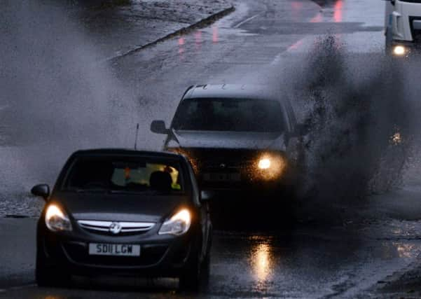
Scotland weather: power cuts and floods as storms hit


Gusts reached up to 112mph in some areas of the Highlands today, accompanied by heavy snow and plunging temperatures on high ground.
Parts of the coast were lashed by 22ft waves.
Households in Skye, Aberdeenshire, Mull, Fintry and Kippen have been hit by power cuts.
Advertisement
Hide AdAdvertisement
Hide AdYellow severe weather warnings remain in place for many regions, with gusts predicted to reach 70mph in exposed parts.
The Met Office has issued yellow wind alerts for Central Scotland, Tayside and Fife, Lothian and Borders and south-west Scotland.
Flood warnings have been put in place for the Highland and Western Isles, Strathclyde, central, Tayside and Fife.
Speed restrictions were placed on all traffic crossing the Forth Road Bridge, which was closed to high-sided vehicles.
Advertisement
Hide AdAdvertisement
Hide AdThe Met Office is predicting further strong and gusty southwesterly winds returning to similar areas later this evening.
Rain will become heavy and persistent later this afternoon and will continue through the evening. It will be accompanied by strengthening southwesterly winds, while standing water could bring difficult driving conditions and some localised flooding.
Forecasters had been speculating that the latest storm could become the UK’s first to have an official name, but winds have so far turned out to be too weak.
The Met Office compiled a list of potential names after asking the public for suggestions. The first storm to trigger a red or amber alert will be named Abigail.
Advertisement
Hide AdAdvertisement
Hide AdWeather-watchers may not have to wait long for as an even more powerful storm is expected to blast in on Thursday.
Winds reaching speeds of more than 100mph are expected to hit mountainous regions as a deep area of low pressure sweeps by northern Scotland. Meanwhile, eastern coasts could be battered by 34ft-high waves.
Road, bridges, schools and businesses were closed, property damaged and trees uprooted across Scotland when the country was bombarded by an intense extratropical cyclone officially known as Friedhelm in December 2011. The devastation and disruption prompted it to be dubbed locally as Hurricane Bawbag.
A spokeswoman for Scottish Hydro Electric Power Distribution said the electricity network across northern Scotland had stood up well to the strong winds but checks would be continuing.
Advertisement
Hide AdAdvertisement
Hide AdShe said: “At the weekend, in anticipation of wind speeds of up to 85mph we increased and mobilised engineering and technical staff to areas that were likely to be affected. We also increased the number of support staff.
“We continue to monitor the weather as high winds are expected to return later in the week.”