
Much of the attention so far has focused on the most controversial issue - whether the northern section of the route should use the Roseburn Path, a former railway line which is now a popular pedestrian and cycle path, or go via Orchard Brae, which would mean crossing the Dean Bridge, seen as a major engineering feat.
However, the Roseburn Path v Orchard Brae debate covers only part of the route.
The new line heading south from the city centre, along the Bridges corridor to Cameron Toll and then towards the Infirmary and BioQuarter, with the possible extension to Shawfair and elsewhere, has been rather neglected so far.
Yet there are challenges and consequences here too - a tight turn onto North Bridge which could mean narrowing a pavement on Princes Street; but measures on South Bridge which would allow pavements there to be widened; residents who may face restrictions on turning in and out of their drives because of overhead lines down the middle of the road; and extra congestion causing delays.
So here is a step-by-step guide to what is in store along the route of the proposed new tramline from Granton - including both Roseburn Path and Orchard Brae options - all the way to the Infirmary.
The proposals are currently out to consultation until next Monday, November 17.
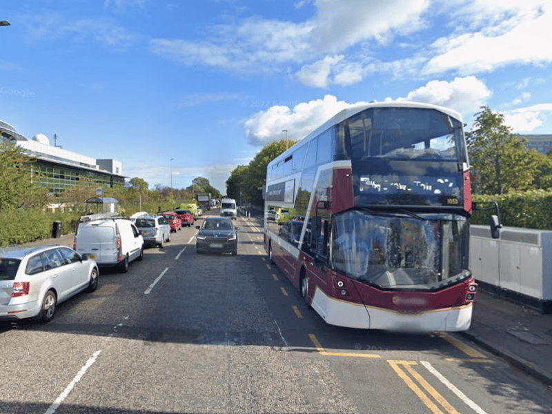
1. Ferry Road
From the start of the proposed new line in Granton, the trams would be off-street most of most the way to Ferry Road, with the track running parallel to West Granton Access and Waterfront Avenue. Ferry Road is the busiest road the trams must cross along the route, but modelling suggests that delays are minor – typically less than 30 seconds. From there, the tram will take one of two routes - along the Roseburn Path or via Crewe Road South, Orchard Brae and Dean Bridge. | Google
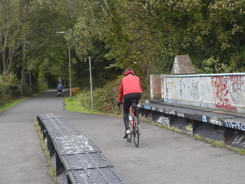
2. Roseburn Path
If the Roseburn Path route is chosen, two tracks are proposed from Ferry Road to Craigleith, then from there to Roseburn tram stop, the line would be single tracked to minimise land take and the impact of the scheme on landscape and ecology. And it would be double tracked again from Roseburn tram stop to Roseburn junction. The 1.5km section of single track between Roseburn and Craigleith is a source of potential delay, estimated at a maximum of 2 minutes 30 seconds. | supplied
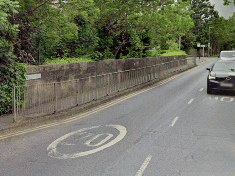
3. Ravelston Dykes
On the Roseburn route, a tram stop had been planned at Ravelston Dykes, but is now omitted from the proposal to to reduce the land being taken and the impact of the trams on the surrounding woodland. | Google
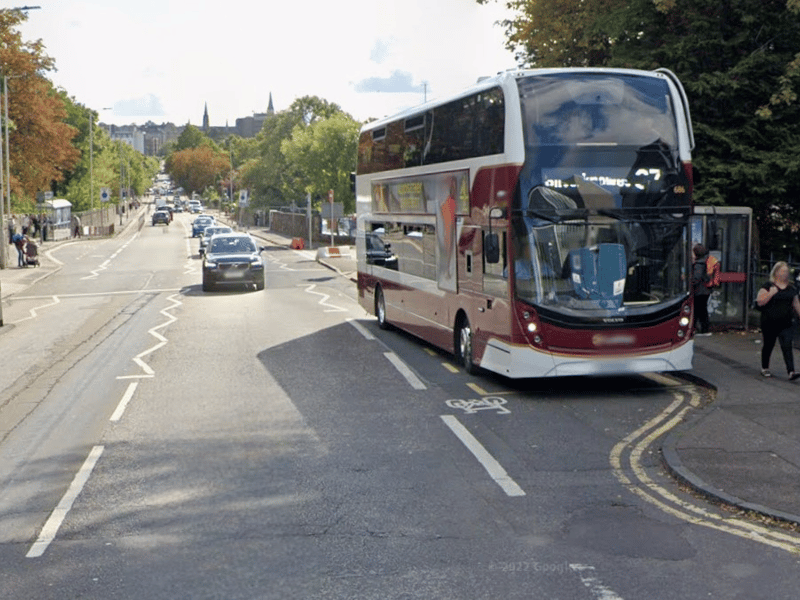
4. Crewe Road South
The Orchard Brae option would mean trams running down Crewe Road South, which is single lane in each direction. But the modelling report says it has been possible to locate bus stops in laybys, limiting the impact of bus dwell times on tram journey times. "Nevertheless, the restricted geometry requires that trams stop in the traffic lane to board and alight, delaying all traffic behind including buses." | Google