
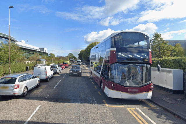

Much of the attention so far has focused on the most controversial issue - whether the northern section of the route should use the Roseburn Path, a former railway line which is now a popular pedestrian and cycle path, or go via Orchard Brae, which would mean crossing the Dean Bridge, seen as a major engineering feat.
However, the Roseburn Path v Orchard Brae debate covers only part of the route.
The new line heading south from the city centre, along the Bridges corridor to Cameron Toll and then towards the Infirmary and BioQuarter, with the possible extension to Shawfair and elsewhere, has been rather neglected so far.
Yet there are challenges and consequences here too - a tight turn onto North Bridge which could mean narrowing a pavement on Princes Street; but measures on South Bridge which would allow pavements there to be widened; residents who may face restrictions on turning in and out of their drives because of overhead lines down the middle of the road; and extra congestion causing delays.
So here is a step-by-step guide to what is in store along the route of the proposed new tramline from Granton - including both Roseburn Path and Orchard Brae options - all the way to the Infirmary.
The proposals are currently out to consultation until next Monday, November 17.
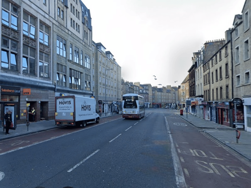
13. Nicolson Square and Newington Road
The trams stops at Nicolson Square and Newington Road do not have a big enough gap between the platform and the nearside track rail to allow a cyclist to safely pass. So, to avoid the need for cyclists to cross the rail, tram stops at these two locations have been designed to allow cyclists to pass behind the platform. | Google
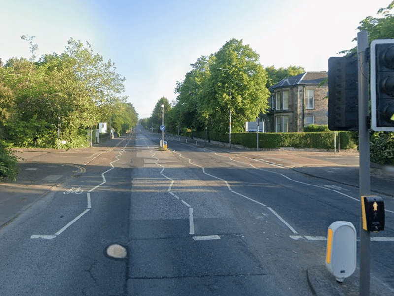
14. Minto Street to Craigmillar Park
Continuing down the Bridges corridor, there would be a single shared traffic and tram lane in each direction between the Minto Street / Salisbury Place junction and the Craigmillar Park / Lady Road junction. Right turn filter lanes would be provided as necessary and all buses and loading would be in bays, minimising potential delays to the tram. Most properties on this section of the route have private driveways but overhead lines will be needed down the centre if the road, so only turning left in and left out may be allowed, with possible U-turn provision at key junctions. | Google
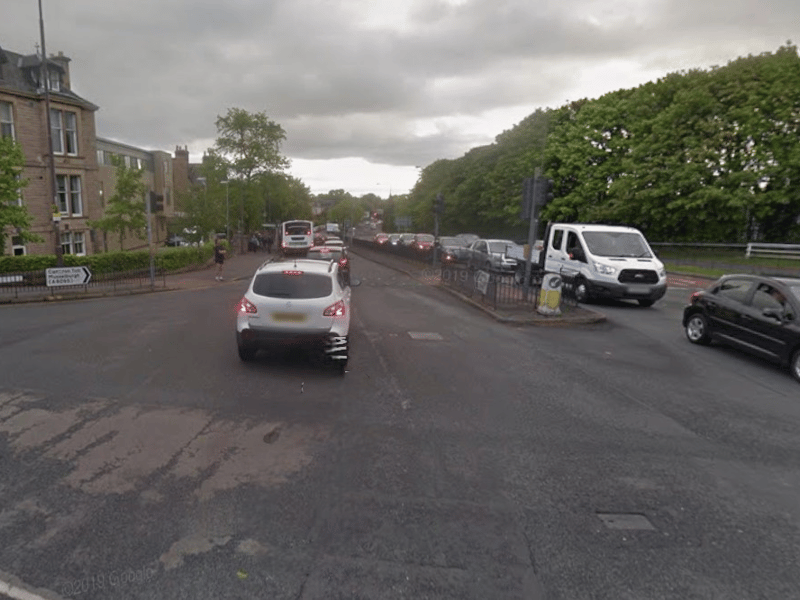
15. Lady Road
The junction that results in greatest congestion along the route is Craigmillar Park / Lady Road / Liberton Road, which clogs up traffic heading north towards the city centre form the south. The modelling report says: "To minimise the impact on tram journey times, it becomes necessary to prioritise Craigmillar Park and Lady Road, further impacting Liberton Road and Esslemont Road queues." The closure of Esslemont Road was considered, but ruled out because it is a bus route. The tight turn between Craigmillar Park and Lady Road means that trams will negotiate the junction at a maximum of 10km per hour, reducing the available capacity for buses and general traffic. On Lady Road, east of Craigmillar Park, two tram tracks and five general traffic lanes are needed, limiting opportunities for streetscape improvements. It may be possible to reduce the number of lanes required, but modelling indicates that this will result in unacceptable levels of congestion. | Google
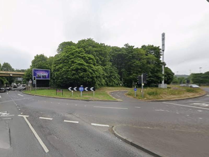
16. Cameron Toll roundabout
The trams will go through the middle of the Cameron Toll roundabout. A route adjacent to the Cameron Toll shopping centre was previously agreed with the site owner. But due to the construction of a fast-food restaurant, that was no longer feasible. The route has been amended to pass through the centre of Cameron Toll roundabout rather than to the south. The report notes: "Otherwise, delivery of tram through this junction is simpler than at Liberton Road / Craigmillar Park / Lady Road." | Google