
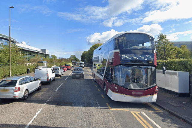

Much of the attention so far has focused on the most controversial issue - whether the northern section of the route should use the Roseburn Path, a former railway line which is now a popular pedestrian and cycle path, or go via Orchard Brae, which would mean crossing the Dean Bridge, seen as a major engineering feat.
However, the Roseburn Path v Orchard Brae debate covers only part of the route.
The new line heading south from the city centre, along the Bridges corridor to Cameron Toll and then towards the Infirmary and BioQuarter, with the possible extension to Shawfair and elsewhere, has been rather neglected so far.
Yet there are challenges and consequences here too - a tight turn onto North Bridge which could mean narrowing a pavement on Princes Street; but measures on South Bridge which would allow pavements there to be widened; residents who may face restrictions on turning in and out of their drives because of overhead lines down the middle of the road; and extra congestion causing delays.
So here is a step-by-step guide to what is in store along the route of the proposed new tramline from Granton - including both Roseburn Path and Orchard Brae options - all the way to the Infirmary.
The proposals are currently out to consultation until next Monday, November 17.
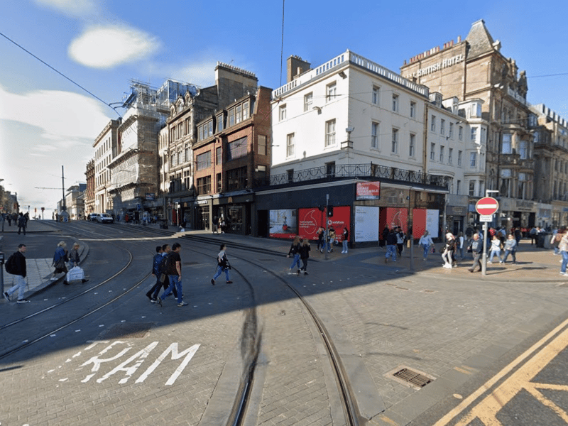
9. Princes Street / South St Andrew Street junction
In contrast, at the other end of Princes Street, a delta junction would be created where Princes Street meets South St Andrew Street, providing an all-movements connection to the existing network. The tight corner mean that turning tram speeds will be limited to a maximum of 10km per hour. And the modelling report says: "Multiple conflicting tram movements and the need to provide sufficient pedestrian and general traffic green time means that this junction is a potential constraint on tram capacity." | Google
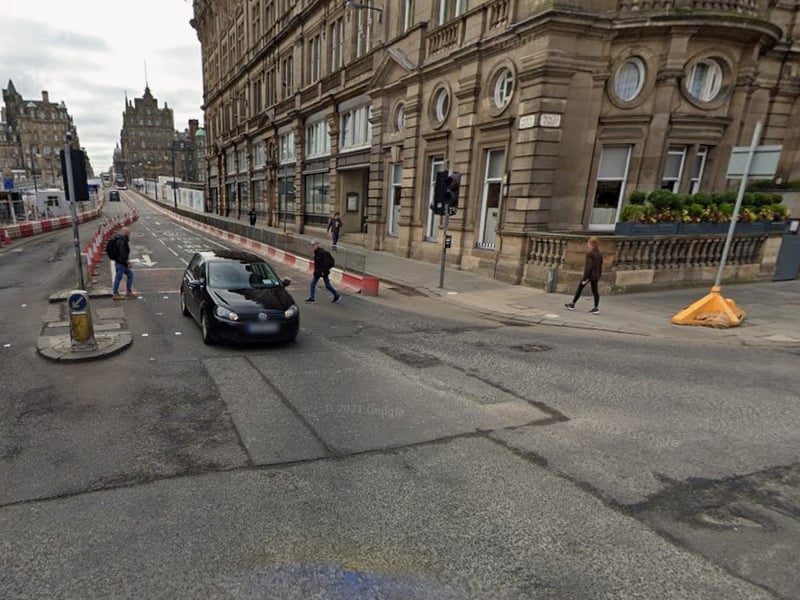
10. Princes Street / North Bridge junction
A tight curve is also required turning the corner from Princes Street to North Bridge. Tracks require to be slewed northwards (towards the Apple Store) meaning the footway will have o be reduced in width at this location. The modelling report says these geometric requirements also mean that it is not possible to introduce segregated cycling on the northside of east Princes Street. Instead, it might be possible to accommodate cycling on the south side of Princes Street, although this would impede access to Waverley Steps and the Balmoral Hotel. | Google
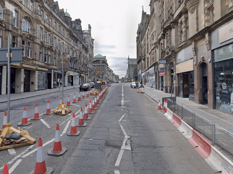
11. North Bridge
The corridor from North Bridge to Cameron Toll is to be prioritised for public transport. And there are plans for a modal filter restricting access to only buses, trams and taxis. The section of South Bridge, north of Chambers Street, would then be open for deliveries and local access only, with an exit via Blair Street. The space demands of the tram and the tram stop on the bridge make it impossible to deliver segregated cycle lanes within the constrained width of the bridge. | Google
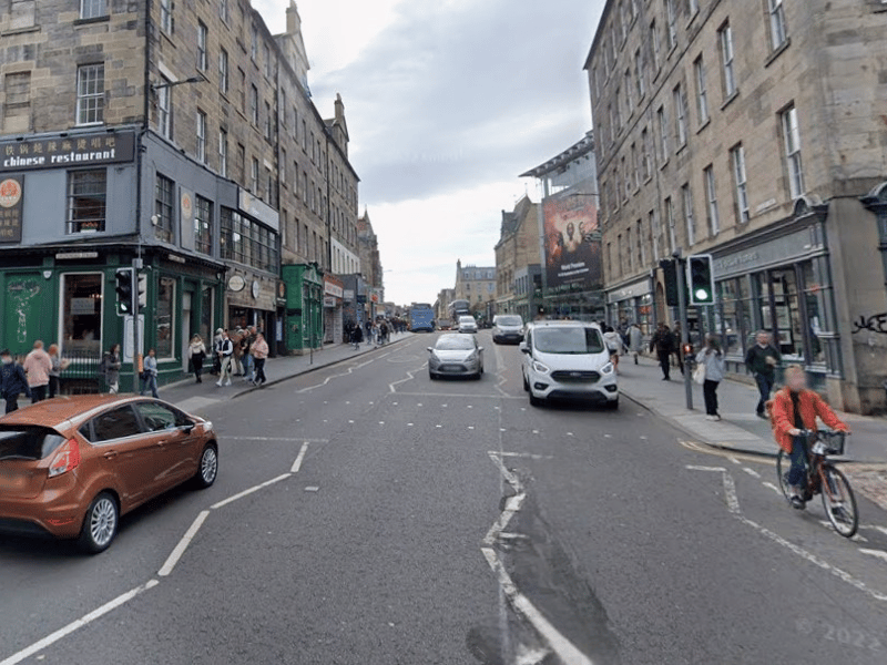
12. South Bridge
On South Bridge, the plan is to improve pedestrian provision, with widened footways. This is achieved by reducing the number of traffic lanes from four to three (or two where bus stops and loading is provided). The modelling report says: "Doing so helps address a specific issue at bus stops, where it is almost impossible for pedestrians to pass waiting passengers without stepping into the roadway." The plan is for three-metre footways, with two shared traffic / tram lanes. | Google