
Edinburgh weather: Flood alert in place for Edinburgh as Met Office thunderstorm warning issued
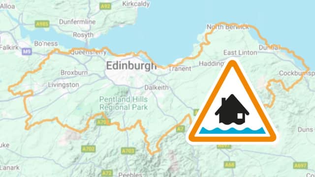

Watch the latest Met Office video forecast, as a SEPA flood alert is in place for Edinburgh.
A Scottish Environment Protection Agency (SEPA) flood alert is currently in place for Edinburgh and Lothians.
The alert reads: “Heavy rainfall may cause flooding from surface water from early Wednesday morning. Minor flooding impacts and disruption to travel is possible if the heaviest rain falls in vulnerable areas. Impacts will be isolated, with most areas not being affected. While some areas could see more than 20mm in an hour, this level of rainfall will be very localised and most places will see lower totals.
“Remain vigilant and remember, it is your responsibility to take actions which help protect yourself and your property. Advice and information is available on our website or by calling Floodline on 0345 988 1188.”
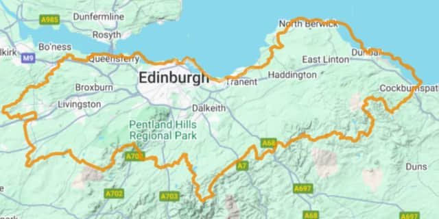
Met Office thunderstorm warning in place for Edinburgh
A Met Office thunderstorm warning will be in place for Edinburgh until 18:00 today (July 2).
The warning reads: “Slow-moving heavy showers and thunderstorms may lead to some travel disruption and flooding in a few places.
“There is a good chance driving conditions will be affected by spray, standing water, leading to longer journey times by car and bus. Possibly some flooding of a few homes and businesses leading to some damage to buildings or structures as well as some damage to a few buildings and structures from lightning strikes. Delays to train services are possible. Some short term loss of power and other services is likely.
“Heavy showers and some thunderstorms are expected to develop across parts of southeast Scotland and northeast England on Wednesday, clearing east into the North Sea later in the afternoon. Whilst some places may see relatively small amounts of rainfall, a few locations could see 15-20 mm of rain in an hour or less leading to some impacts from surface water flooding. Where several showers move over the same area, there is a chance of 20-30 mm falling in 2-3 hours.
As the showers clear to the east strong winds may develop on the western flank with gusts of around 40 mph possible for a short period of time.”