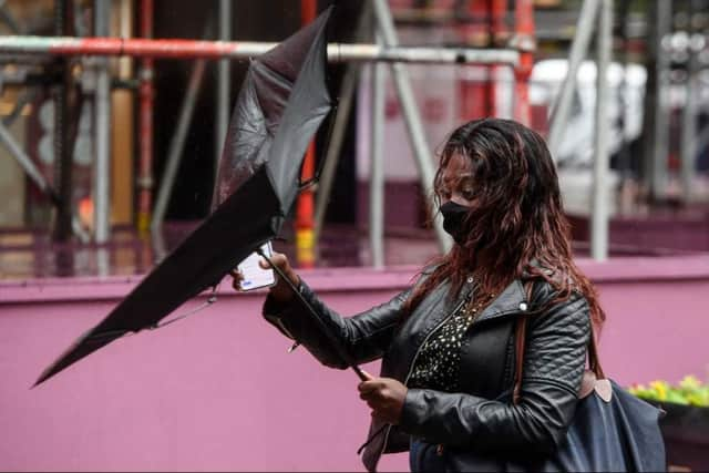
Edinburgh weather: Met Office issues yellow thunderstorm warning - exact time it will hit
and live on Freeview channel 276
After a week of sweltering temperatures in many parts of the UK, the Met Office has issued a yellow warning of thunderstorms for Edinburgh.
The heatwave has also resulted in hosepipe bans in numerous regions as reservoir water levels reached alarming levels.
Advertisement
Hide AdAdvertisement
Hide AdHowever, the weather in Edinburgh is expected to be milder, with heavy showers and thunderstorms expected, with temperatures expected to dip even further.
Met Office Deputy Chief Meteorologist Jason Kelly said: “The current hot weather will make way for a thundery breakdown from the west, which will spread south and east in the early part of next week.
“Ahead of this, isolated but intense thunderstorms are possible Sunday, Monday and Tuesday.


“The warnings highlight the chance of some places seeing around 50mm of rain falling in a three-hour period in the north, with some areas further south possibly seeing around 30mm of rain in a three-hour period.
Advertisement
Hide AdAdvertisement
Hide Ad“Hail and frequent lightning are also possible as part of these downpours and represents an additional hazard.”
Here is everything you need to know about the yellow weather warning issued for Edinubrgh and what it means.
When is the thunderstorm coming to Edinburgh in August 2022?
According to the Met Office, the yellow warning of thunderstorms for Edinburgh will be in effect from today, August 15 to August 16.
Heavy rain and thunderstorms are likely to take place from 3pm and will last until 1am, August 16, with a maximum temperature of 16C.
What is the Yellow weather warning?
Advertisement
Hide AdAdvertisement
Hide AdThe Met Office says yellow warnings can be issued for a range of weather situations. Many are issued when it is likely that the weather will cause some low level impacts, including some disruption to travel in a few places.
Many people may be able to continue with their daily routine, but there will be some that will be directly impacted and so it is important to assess if you could be affected.
Other yellow warnings are issued when the weather could bring much more severe impacts to the majority of people but the certainty of those impacts occurring is much lower.
It said: “It is important to read the content of yellow warnings to determine which weather situation is being covered by the yellow warning.”
Advertisement
Hide AdAdvertisement
Hide AdFor thunderstorms yellow warning, the Met Office said the flooding of homes and businesses could happen quickly, with damage to some buildings from floodwater, lightning strikes, hail or strong winds.
Fast flowing or deep floodwater is also possible, causing a danger to life with a chance of delays and some cancellations to train and bus services.
Power cuts might also occur and other services to some homes and businesses could be lost.
Are there any flood warnings for Edinburgh?
According to the Scottish Environment Protection Agency (SEPA), there are currently no flood warnings in place for Edinburgh, but flood alerts have been issued across the city.
This includes:
- Colinton Mains
- Cramond
- Dean Village
- Inch Park and Peffermill
- Longstone/Stenhouse
- Portobello
- Roseburn
- Stockbridge
- Warriston and Bonnington
What is the weather forecast for Edinburgh this week?
Monday, August 15
Advertisement
Hide AdAdvertisement
Hide AdToday will be cooler and mostly cloudy, with a chance of showers and thunderstorms that will grow from late morning through the afternoon. There are sometimes patches of mist and fog along the eastern coast. Maximum temperature 23 °C.
Tonight
Showers and longer periods of rain will continue, and there is a chance of storms in the evening. Northern winds are getting stronger. Mist and fog are still sometimes moving across the eastern coasts. Minimum temperature 10°C.
Tuesday, August 16
Tuesday will start out cloudy and rainy, but will gradually clear up as mostly dry, bright, and fresher weather comes in from the west. Winds from the north are getting stronger along the coasts. Maximum temperature 21°C.
Wednesday will be mostly dry and sunny for a long time. Thursday will start out clear, but bands of rain that are getting weaker will move to the west later. Friday will have both sun and rain.
Comment Guidelines
National World encourages reader discussion on our stories. User feedback, insights and back-and-forth exchanges add a rich layer of context to reporting. Please review our Community Guidelines before commenting.
