
The new line would involve new track from Granton Square to link up with the existing line through the city centre and then more new track down the North Bridge corridor to Cameron Toll and on to the Infirmary and BioQuarter.
The section between Crewe Toll and the city centre could follow one of two routes - one of the key issues in the 12-week consultation now under way.
The tramline could use either the Roseburn Path pedestrian and cycle route, linking up with the existing line before Haymarket; or the alternative option of going via Crewe Road South and Orchard Brae, crossing Dean Bridge and joining the existing line at the west end of Princes Street.
Here is a look at the proposed stops along the way - including both the Roseburn Path and Orchard Brae option. The pictures do not necessarily reflect the precise location proposed for each stop.
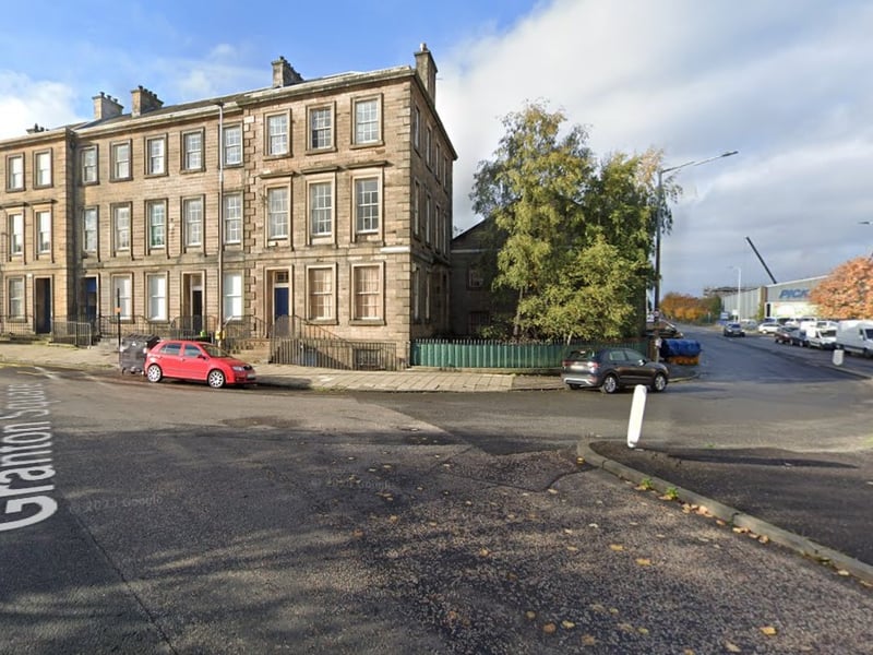
1. Granton Square
The northern terminus of the proposed new tramline is Granton Square. From here to Ferry Road the line would be largely off-street, running parallel to West Harbour Road, Waterfront Avenue and West Granton Access. | Google
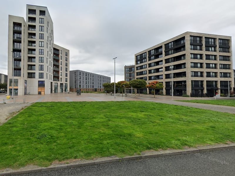
2. Saltire Square
One of the main reasons the council is proposing the new tramline from Granton to the city centre and onto the Royal Infirmary and BioQuarter is the huge expansion of housing under way in and around Granton. Saltire Square is one of the stops which would offer the area's residents easy access to other parts of the city. | Google
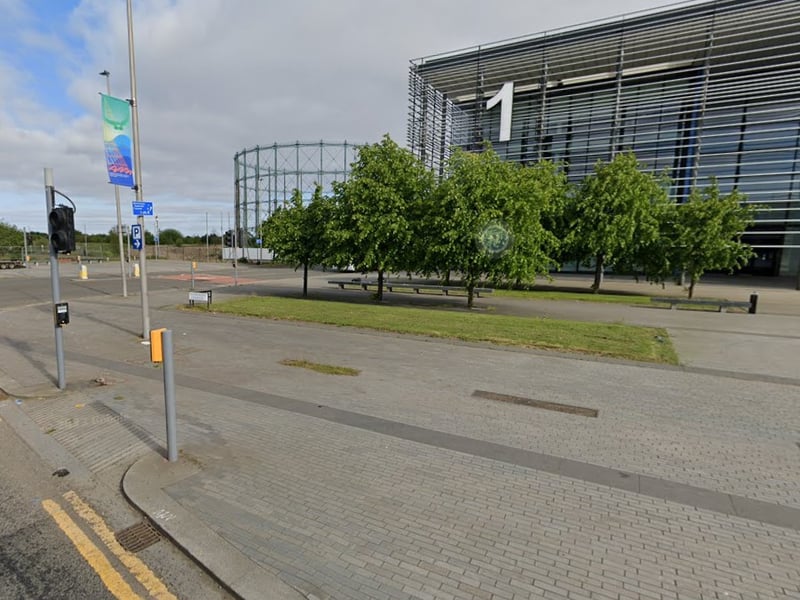
3. Caroline Park
Situated next to Waterfront Avenue, close to the junction with Waterfront Broadway, the Caroline Park tram stop takes its name from the historic house next to the gasworks site. It is also close to the waterfront area where the £1.3 billion Granton regeneration project is bringing new homes to the area. | Google
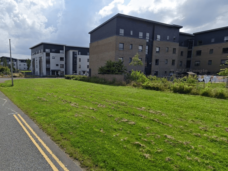
4. West Pilton
The proposed tram stop for West Pilton is on the off-street line parallel to West Granton Access, on the edge of the West Pilton estate. | Google