
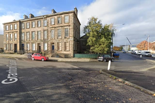

The new line would involve new track from Granton Square to link up with the existing line through the city centre and then more new track down the North Bridge corridor to Cameron Toll and on to the Infirmary and BioQuarter.
The section between Crewe Toll and the city centre could follow one of two routes - one of the key issues in the 12-week consultation now under way.
The tramline could use either the Roseburn Path pedestrian and cycle route, linking up with the existing line before Haymarket; or the alternative option of going via Crewe Road South and Orchard Brae, crossing Dean Bridge and joining the existing line at the west end of Princes Street.
Here is a look at the proposed stops along the way - including both the Roseburn Path and Orchard Brae option. The pictures do not necessarily reflect the precise location proposed for each stop.
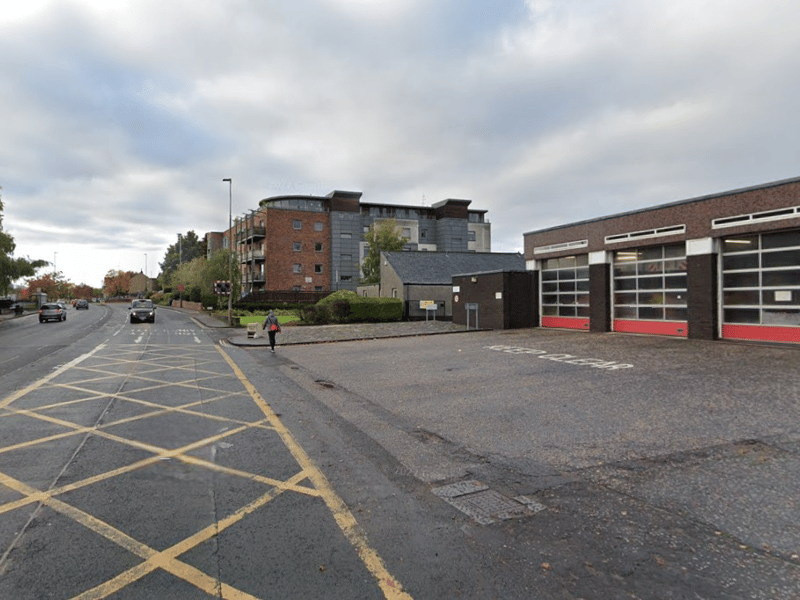
9. Orchard Brae route: Crewe Toll
The Orchard Brae route would see the tram cross Ferry Road from West Granton Access to Crewe Road South, avoiding the Crewe Toll roundabout. The proposed tram stop appears to use the site of Crewe Toll fire station. | Google
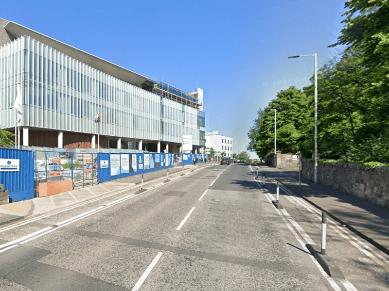
10. Orchard Brae route: Western General Hospital
Under the Orchard Brae option, a tram stop would be located next to the main entrance of the Western General Hospital on Crewe Road South. | Google
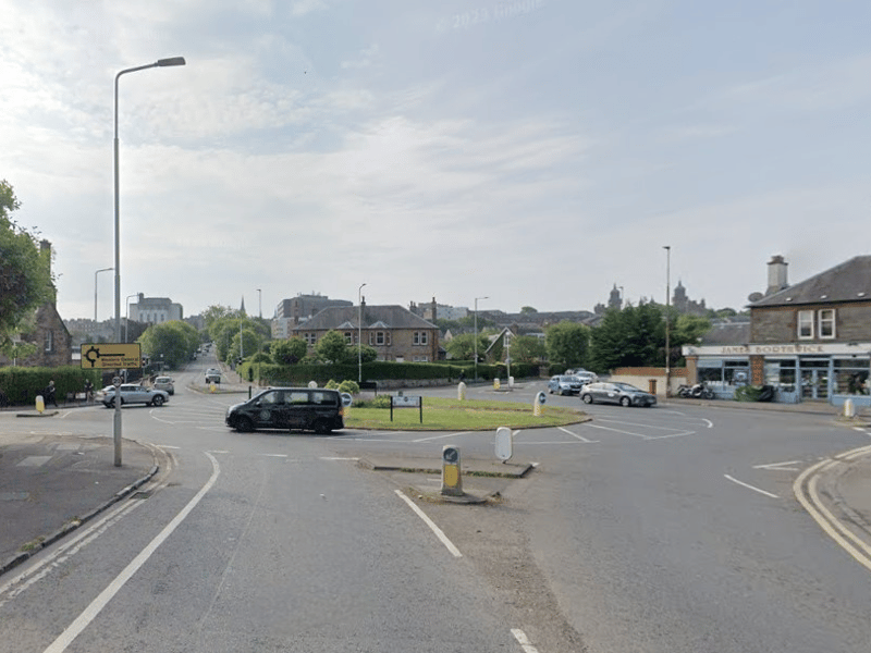
11. Orchard Brae route: Comely Bank
The Orchard Brae route would require the Comely Bank roundabout to be signalised to minimise delays. And the tram stop platforms would be staggered either side of the junction - northbound to the south on Orchard Brae, southbound to the north on Crewe Road South. | Google
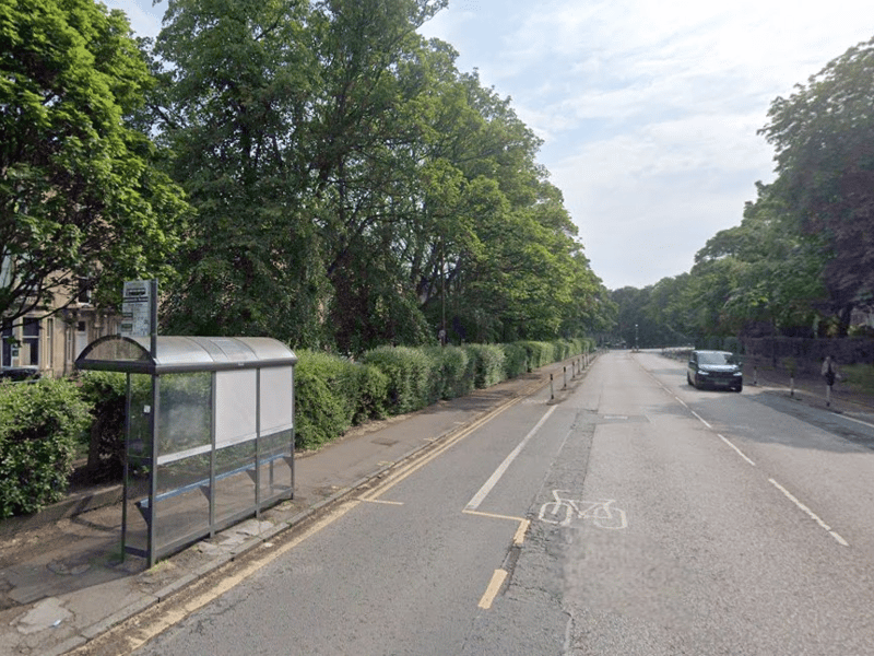
12. Orchard Brae route: Queensferry Road
Orchard Brae is too steep and too narrow for a tram stop, so the next stop on this route would be on Queensferry Road, west of Learmonth Terrace - shortly before it has to cross Dean Bridge. | Google