
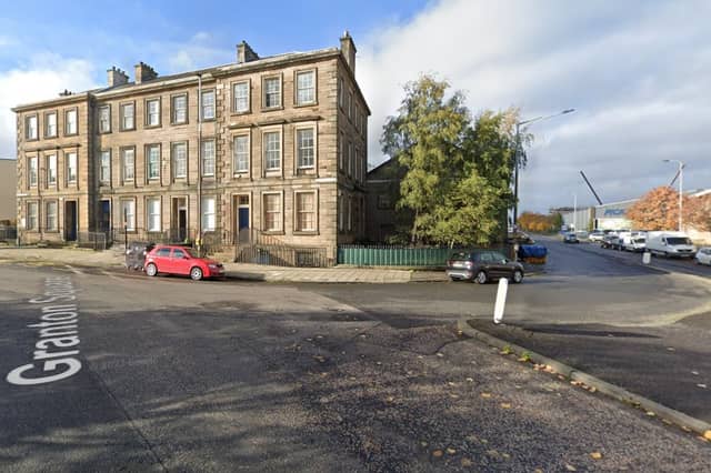

The new line would involve new track from Granton Square to link up with the existing line through the city centre and then more new track down the North Bridge corridor to Cameron Toll and on to the Infirmary and BioQuarter.
The section between Crewe Toll and the city centre could follow one of two routes - one of the key issues in the 12-week consultation now under way.
The tramline could use either the Roseburn Path pedestrian and cycle route, linking up with the existing line before Haymarket; or the alternative option of going via Crewe Road South and Orchard Brae, crossing Dean Bridge and joining the existing line at the west end of Princes Street.
Here is a look at the proposed stops along the way - including both the Roseburn Path and Orchard Brae option. The pictures do not necessarily reflect the precise location proposed for each stop.
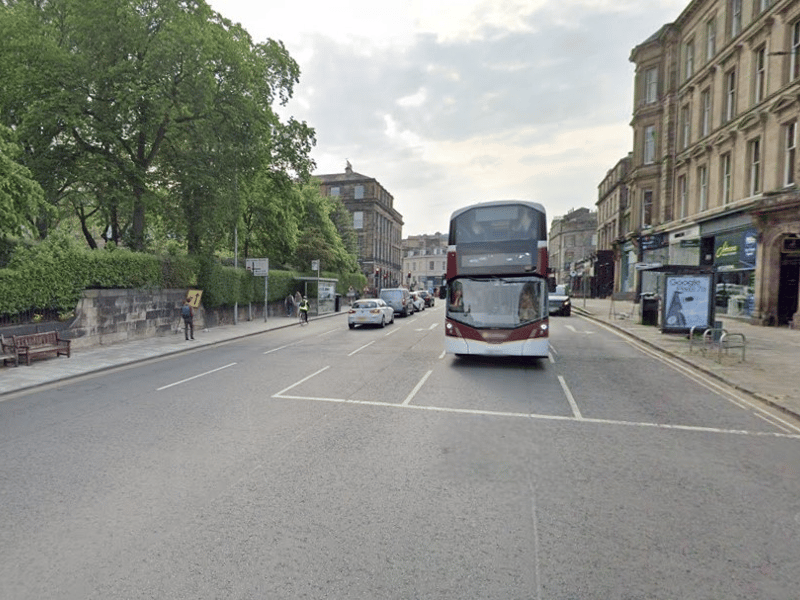
13. Orchard Brae route: Queensferry Street
If the Orchard Brae route were chosen, the Queensferry Street junction with Princes Street is where the new line would join the existing one. The precise location of the proposed tram stop at Queensferry Street is still being considered since it could mean the relocation of busy bus stops. | Google
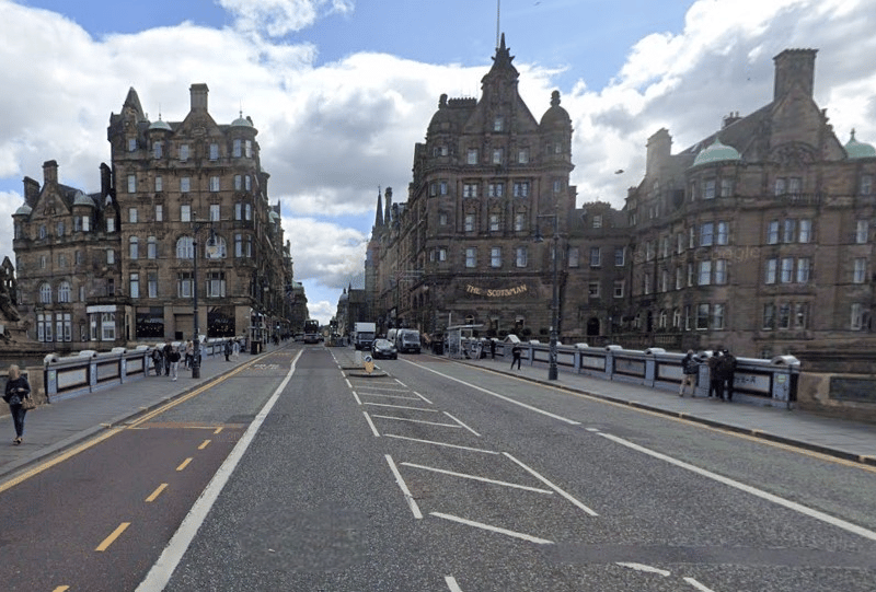
14. North Bridge
At the east end of Princes Street, trams would turn right onto North Bridge - and there would be a stop part way across, with a lift from the tram stop directly down to Waverley station. It is forecast to be the busy stop on the entire network. | Google
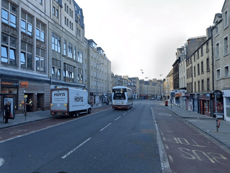
15. Nicolson Street
The next stop on the journey south down the North Bridge corridor would be Nicolson Street. The tram stop platforms would be staggered on either side of the junction with West Nicolson Street / West Richmond Street. | Google
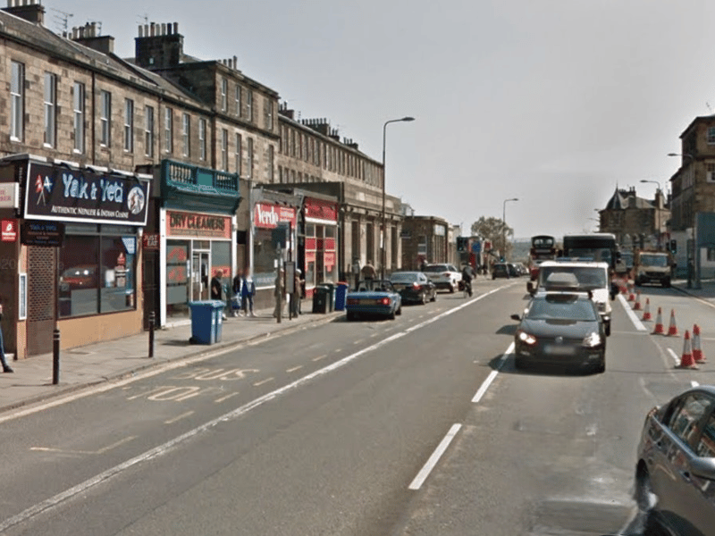
16. Newington
And the next stop would be Newington, situated on Newington Road, just south of the junction with East and West Preston Streets. Trams would be battery powered between Princes Street and Newington tram stop, removing the need for overhead lines for that stretch of the route. | Google